Assessing Coral Reef Health in The Great Barrier Reef: A Comparative Analysis of Bleaching Severity Over Time
Keon Hendrickson, Angela Marks, Emma Phungraksakiat, Fernando Pensamiento, Hannah Makino, Cameron Yetzer
UCLA Geography - Winter 2025 GEOG 182A

Introduction
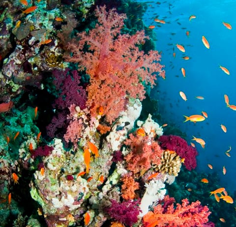
Coral reefs worldwide are threatened by multiple stressors.
Warming ocean temperatures
Ocean acidification due to climate change
Overfishing
Pollution
Coastal development
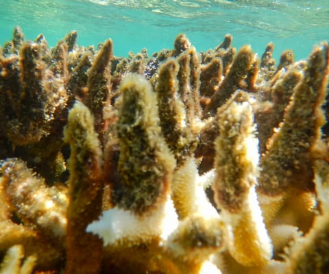
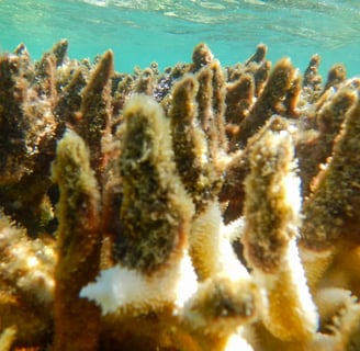
These factors significantly impact the Great Barrier Reef, resulting in coral bleaching, mortality, and habitat loss throughout this extensive marine ecosystem.
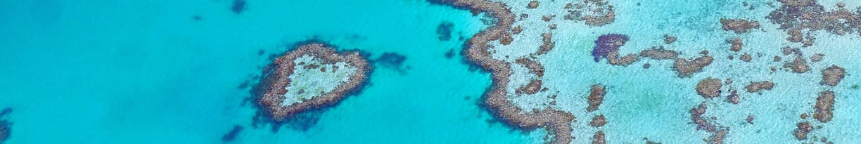
Remote sensing, which uses satellite imagery, provides a cost-effective way to assess the health of these reefs, offering a broader spatial and temporal perspective and providing insights as to how these methods can be applied elsewhere.
Importance
The findings could help inform future coral restoration initiatives, optimizing strategies for reef conservation in the face of ongoing environmental threats from climate change and anthropogenic forces. It also highlights areas that are more prone to risk, allowing us to prioritize more impacted areas before others.
What do we know?
Remote sensing is a valuable tool for collecting information about objects or phenomena that reside on the surface of the Earth. However, given that coral reefs live below the ocean’s surface, the acquisition of information using remote sensing is a more difficult process.
We are aware that climate change is the primary driving factor for coral bleaching. Using remote sensing will allow us to see what areas are affected, what factors exacerbate bleaching, where the high-risk areas are, and whether our current efforts are sufficient in reducing coral bleaching.
What do we not know?
Coral reefs are located in depths outside the range of what remote sensing instruments can capture. On-site instrumentation, like drones, are utilized to collect information that remote sensing fails to do so. Fortunately, data surrounding coral reefs exist in a range that satellites, such as Sentinel 2, can capture.